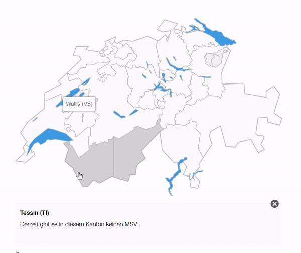
Interactive map

This content module is used to integrate an interactive map. When you click on a specific section (e.g. a canton or a region), detailed information about it is listed below. To use this element, an .svg file is used that defines each section.
If you are interested in such an integration, please contact the SRC Digital Solutions team so that this can be set up together.